
Hackathon 2023: Sustainable Mobility with ECF and Jabra
On March 25th and 26th, 2023, we hosted a hackathon with a sustainable mobility theme. The event brought together a diverse group of creative and talented individuals with the common goal of developing innovative ideas and solutions that can contribute to a more sustainable future.
The collaboration with the European Cyclists' Federation (ECF), and Jabra played a key role in making the event a success. The ECF, the world's largest cyclists' advocacy organization, brought its expertise to the event. Additionally, Jabra generously provided headsets as prizes for the winners of the hackathon, adding another layer of motivation for participants to put their best efforts forward.
Six teams consisting of master’s students, recent graduates, and young professionals had the chance to learn and test new skills based on data analysis, visualization, and coding. Participants had access to cutting-edge data and tools, as well as mentorship from experienced data scientists.
The Challenge and Datasets
We kicked off the hackathon on March 25th with an online opening ceremony. Guillaume Carton, the event organizer, welcomed the participants and introduced the two-day sustainable mobility challenge. He encouraged participants to think creatively and collaboratively in order to develop innovative solutions.
The participants were challenged to develop solutions to the problem of cycling barriers caused by linear features such as motorways and major railway lines. This issue frequently forces cyclists to take long detours or take dangerous roads to cross the barriers. Additionally, there is no clear way to measure the impact of these barriers or estimate the number of crossings required for large infrastructure projects.
To tackle this challenge, the participants were provided with a dataset that included cycle networks for multiple cities in Benelux, NUTS region data with geographical characteristics, population density data, and TEN-T data that showed the development stage of roads, railways, and inland waterways.
The task was to develop a metric for quantifying the barrier effect of linear features, identify areas where the barrier effect is most prominent, and identify locations or sections that most urgently need an additional cycle crossing.
This challenge presented a unique opportunity for the participants to gain hands-on experience with geospatial data analysis and learn about the Geopandas library.
Solutions Delivered by Participants

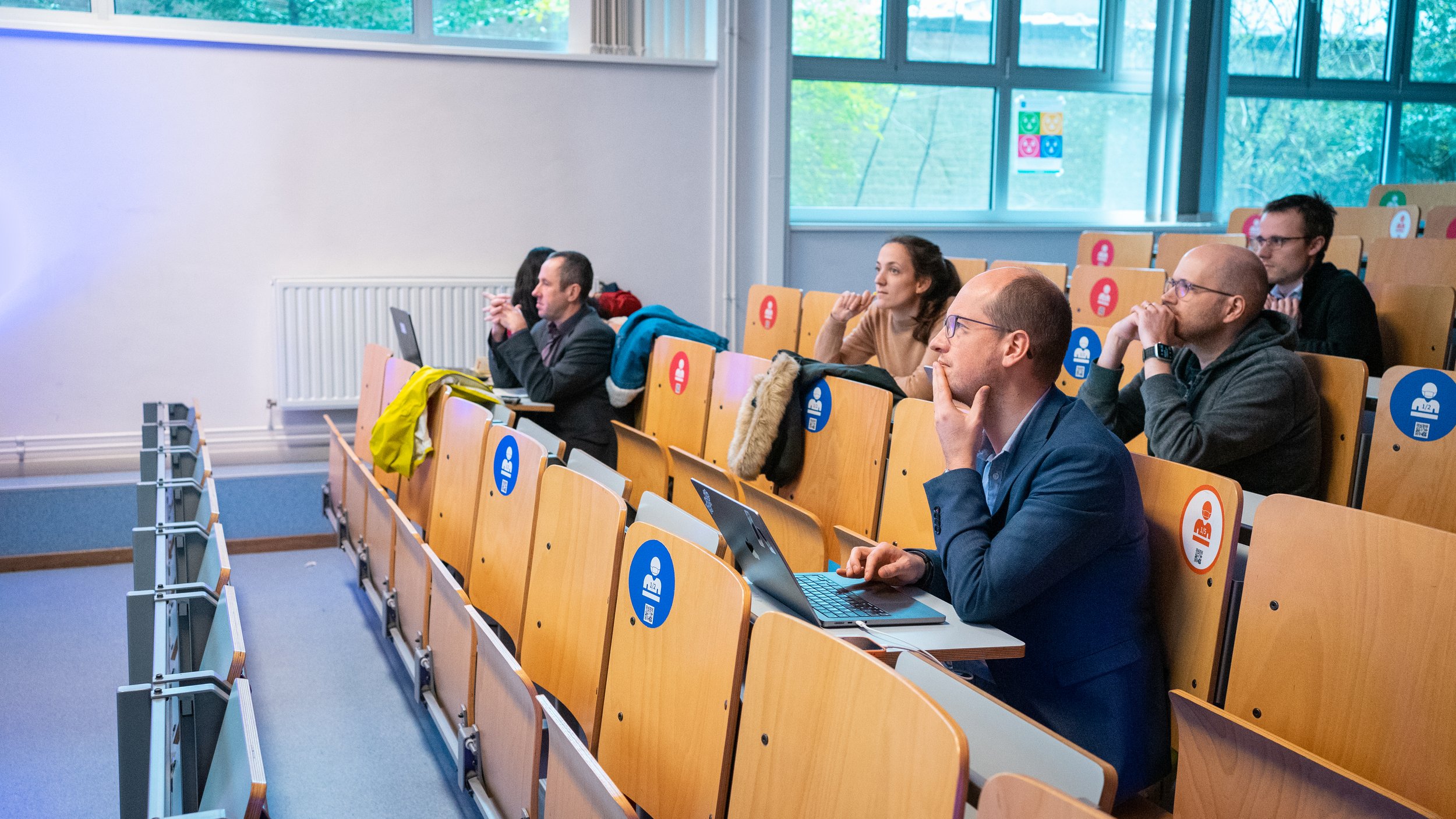
On day 2, participants were given the opportunity to present their solutions in person at ULB. The judges were excited to see the participants' creative and innovative solutions. Each team had the chance to show their work and explain their methodology, which allowed for valuable discussion and feedback.
We were curious to hear more about participants' experiences, so we asked them to share their overall thoughts and approach to the task.
Unveiling Team Strategies
Team 1's analysis revolved around the crucial Barrier Effect Index (BEI), a metric that uncovers the hindrances to cycling, including barrier length, population density, intersections with cycle paths, and urgency for additional cycle crossings. With their insightful findings, Team 1 recommended a significant increase in investment in cycling infrastructure in Wallonia and the northern region of the Netherlands. They emphasized the need to prioritize rural areas for infrastructure development to promote cycling as a vibrant and accessible transportation option.
Moreover, the winning team tackled the challenge of measuring the barrier effect of infrastructure for cyclists. They combined geospatial data with publicly available cyclist volume data and population density to create an interactive map that shows the impact of infrastructure on cycling networks in Benelux.
According to Team 2, their approach was to "pinpoint and quantify the 'barrier effect' of infrastructure." However, they faced challenges while dealing with the available data, which involved "merging coordinate systems, varying data types, and trying to ground their findings with domain knowledge or publicly available information."
Despite the challenges, Team 2's interactive map provides a valuable resource for cyclists and policymakers seeking to improve sustainable mobility in the region. It offers a more in-depth picture of the impact of infrastructure on cycling networks and could help in making more informed decisions to improve cycling infrastructure.
Moving on to Team 3, their approach differed as they initially focused on data analysis and pattern identification. "At first, we spent much time on data analysis and tried to identify patterns from the data," shares the participant from team 3. However, after brainstorming potential solutions, they realized that their initial method was computationally complex and couldn't be completed within the limited time frame.
According to the participant, the main challenge in the hackathon was "the lack of knowledge of a suitable model for the problem and the limited time." Despite this, they were glad that their idea was recognized and that they could learn from the solutions shared by other teams. Overall, they viewed the experience as positive and valuable for their future work in geospatial data analysis.
Perspectives from the Experts: Outcome and Feedback
After the hackathon, we reached out to attendees, including team members from Agilytic and representatives from ECF, to gather their feedback and views.
Aleksander Buczyński, Policy Officer at ECF, highlighted the importance of addressing barriers to cycling caused by large infrastructural investments in the trans-European transport network, such as motorways or high-speed rail lines. He stated, "We have already convinced the key decision makers that it is a problem worth addressing. But to turn the political will into an effective intervention, we need a metric - performance indicator, benchmark - that allows us to quantify how serious the barrier is."
Andrea Chavez, Data Analyst Intern, appreciated the effort of each group and highlighted the potential of the preliminary results and visualizations presented by some groups, which could serve as a basis for further work at ECF. She acknowledged the challenges of dealing with new data and spatial analysis, but also commended the ideas, approaches, communication efforts, and interest shown by the participants. "We know it is not easy to deal with new data, and maybe dealing with spatial analysis if there is no previous knowledge, but that is the challenge!" she said.
In addition to the feedback from the representatives, we also spoke to Guillaume Boeckx, one of the team members from Agilytic, to get his perspective on the hackathon. He shared that the participants appreciated the challenge but found it complicated. Guillaume also mentioned that during the presentations, one group stood out by illustrating their findings with specific locations near where they live, making it relatable and relevant to the participants. This highlighted the importance of the topic and the concerns surrounding it.
Conclusion

In conclusion, the event demonstrated that young data scientists can have a significant impact on real-world issues if they have the proper data, tools, and mentoring. It's critical that we continue to engage with and support the upcoming generation of data scientists as we make progress toward a more sustainable future. The perspectives and solutions they offer will be crucial in addressing the issues our society is currently facing.